Chesapeake Bay Climate Adaptation Toolbox
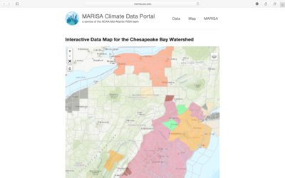
MARISA Data Tools: Realtime Data Map
Developed By: Mid-Atlantic Regional Integrated Sciences and Assessments (MARISA) program
Summary: MARISA’s Realtime Data Map provides an interface for accessing a broad range of current weather, hydrological, and ocean data, as well as NOAA watches and warnings, for the Chesapeake Bay Watershed and surrounding regions.
Get This Tool: https://www.marisa.psu.edu/rtdatamap/
Geographic Coverage
- Delaware; District of Columbia; Maryland; New Jersey; New York; Pennsylvania; Virginia
Tags
- Real-time/Current
- Jursidiction based
- Grid based
- Location specific
- County level
- Watershed level
- Regional level
- Computer application
- Interactive interface/map
- MARISA
- Subdaily
Cost
- Free
Skill Level
- Low