Chesapeake Bay Climate Adaptation Toolbox
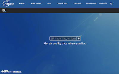
AirNow

Developed By: Environmental Protection Agency (EPA), National Oceanic and Atmospheric Administration (NOAA), National Park Service (NPS), National Aeronautics and Space Administration (NASA), Centers for Disease Control (CDC), and tribal, state, and local air quality agencies
Summary: AirNow is a user-friendly source for air quality data at the local, state, national, and world view.
The primary objective of AirNow is to be a centralized data system that provides quality control, national reporting consistency, and the ability to distribute data to the public, researchers, businesses, educators, and to other data systems.
AirNow provides “current and forecast air quality maps and data for more than 500 cities across the U.S., current and historical data for U.S. Embassies and Consulates around the world, current fire conditions including fire locations, smoke plumes, and air quality data from permanent and temporary air quality monitors, air quality data for Canada and Mexico, enviroflash emails, apps, widgets, and an API, and health and air quality information for the public, healthcare professionals, teachers and students, and weathercasters”.
Get This Tool: https://www.airnow.gov
Geographic Coverage
- Contiguous United States
Tags
- Historical
- Real-time/Current
- Forecast
- Grid based
- Location specific
- City level
- Computer application
- Interactive interface/map
- Subdaily
Cost
- Free
Skill Level
- Low